The sun provides a daunting source of electromagnetic disarray – chaotic, random energy emitted by the massive ball of gas arrives to Earth in a wide spectrum of radio frequencies. But in that randomness, Stanford researchers have discovered the makings of a powerful tool for monitoring ice and polar changes on Earth and across the solar system.
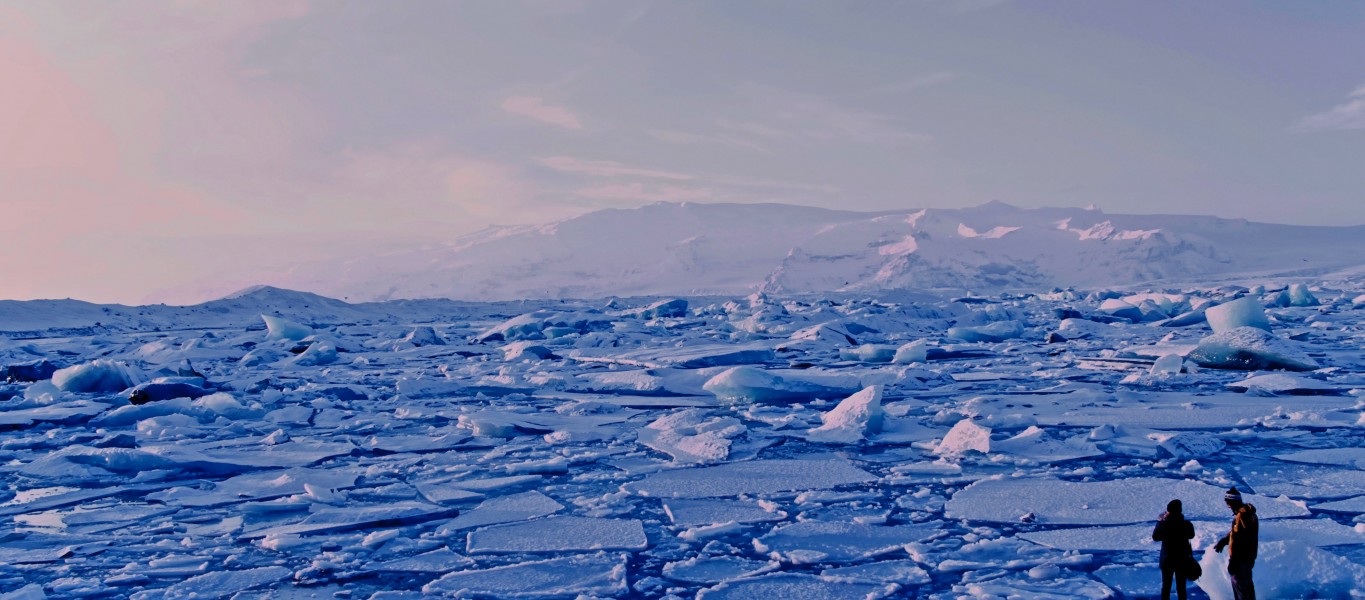
In a new study, a team of glaciologists and electrical engineers show how radio signals naturally emitted by the sun can be turned into a passive radar system for measuring the depth of ice sheets and successfully tested it on a glacier in Greenland. The technique, detailed in the journal Geophysical Research Letters on July 14, could lead to a cheaper, lower power and more pervasive alternative to current methods of collecting data, according to the researchers. The advance may offer large-scale, prolonged insight into melting ice sheets and glaciers, which are among the dominant causes of sea-level rise threatening coastal communities around the world.
A sky full of signals
Airborne ice-penetrating radar – the primary current means for collecting widespread information about the polar subsurface – involves flying airplanes containing a high-powered system that transmits its own “active” radar signal down through the ice sheet. The undertaking is resource-intensive, however, and only provides information about conditions at the time of the flight.
By contrast, the researchers’ proof of concept uses a battery-powered receiver with an antenna placed on the ice to detect the sun’s radio waves as they travel down to Earth, through the ice sheet and to the subsurface. In other words, instead of transmitting its own signal, the system uses naturally occurring radio waves that are already traveling down from the sun, a nuclear-powered transmitter in the sky. If this type of system were fully miniaturized and deployed in extensive sensor networks, it would offer an unprecedented look at the subsurface evolution of Earth’s quickly changing polar conditions, the researchers say.
“Our goal is to chart a course for the development of low-resource sensor networks that can monitor subsurface conditions on a really wide scale,” said lead study author Sean Peters, who conducted research for the study as a graduate student at Stanford and now works at the MIT Lincoln Laboratory. “That could be challenging with active sensors, but this passive technique gives us the opportunity to really take advantage of low-resource implementations.”