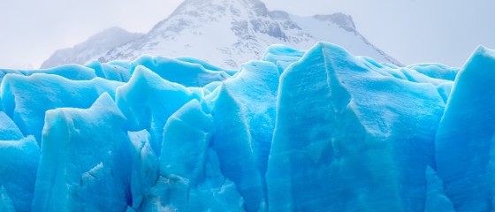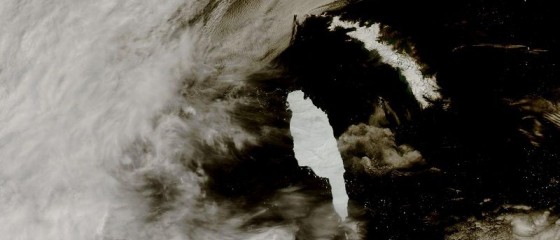
This particular new research, which is based on measurements from ESA’s CryoSat mission, shows that extreme ice melting events in Greenland have become more frequent and more intense over the past 40 years, raising sea levels and the risk of flooding worldwide.
The findings, published this week in Nature Communications, reveal that Greenland’s meltwater runoff has risen by 21% over the past four decades, and has become 60% more erratic from one summer to the next.
Over the past decade alone, 3.5 trillion tonnes of ice have melted from the Greenland ice sheet and spilled into the ocean. This is enough to cover the entire UK with meltwater 15 metres deep or cover the entire city of New York with meltwater 4500 metres deep.
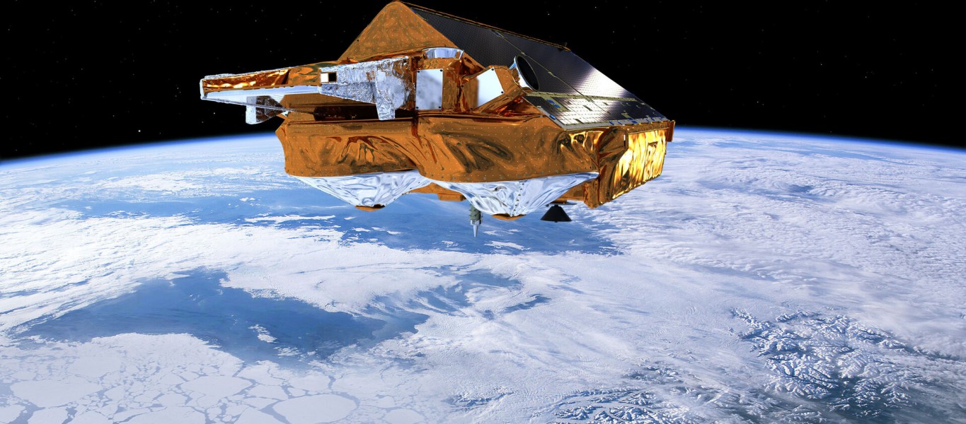
The research was funded by ESA as part of its Polar+ Surface Mass Balance Feasibility project and used measurements from the Agency’s ice mission CryoSat – and it is the first study to use satellite data to detect ice-sheet runoff from space.
Lead author, Dr Thomas Slater, a research fellow in the Centre for Polar Observation and Modelling at the University of Leeds in the UK said, “As we’ve seen with other parts of the world, Greenland is also vulnerable to an increase in extreme weather events.
“As our climate warms, it’s reasonable to expect that the instances of extreme melting in Greenland will happen more often – observations such as these are an important step in helping us to improve climate models and better predict what will happen this century.”