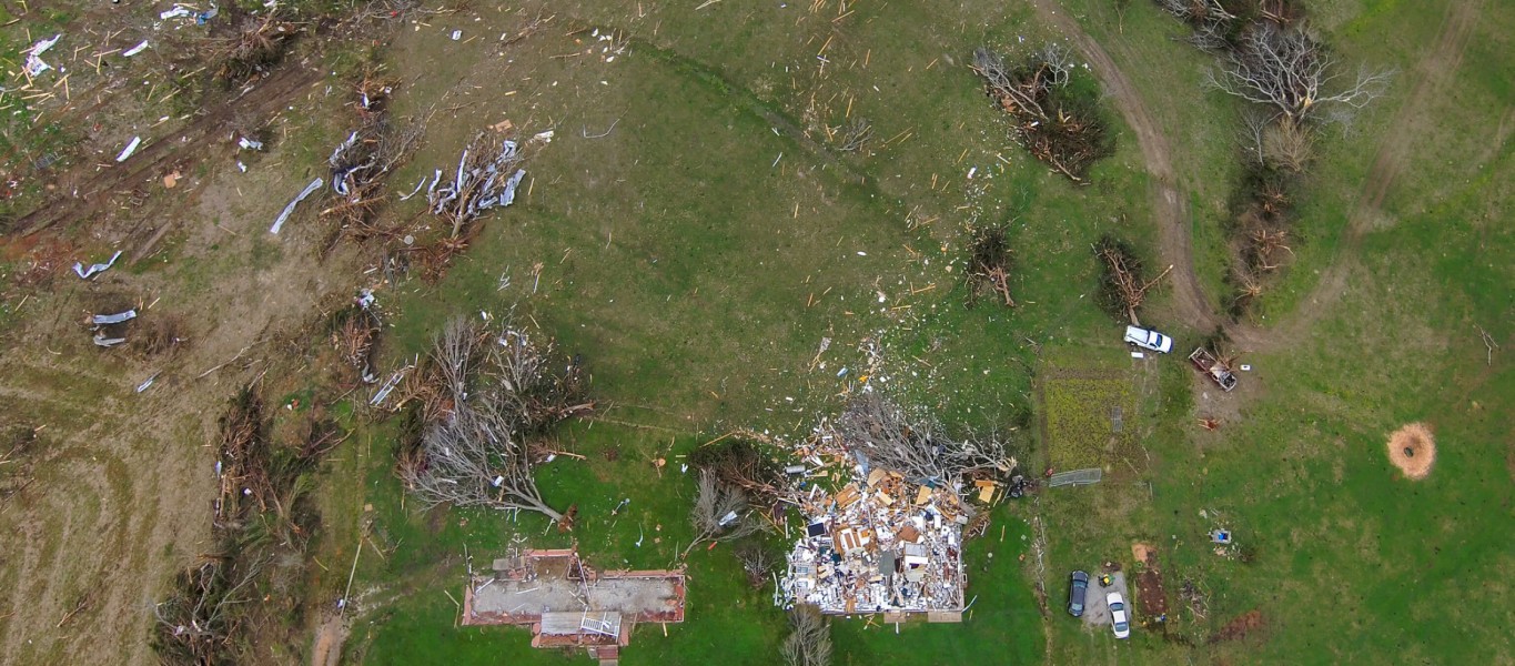
After deadly tornadoes struck the Southeast in March, NOAA researchers for the first time successfully captured aerial photos and video of storm damage from hard-to-reach locations using remote-controlled, uncrewed aircraft.
The new imagery helped the community’s response and recovery efforts and enabled forecasters to more accurately map the paths of destruction from multiple tornadoes. For example, they were able to identify the beginning of an 80-mile tornado track in a remote area with limited road access near a river.
Scientists hope images from the research drones will improve our understanding of tornadoes and lead to better forecasts.
A team from the NOAA National Severe Storms Laboratory, in collaboration with the Cooperative Institute for Mesoscale Meteorological Studies at the University of Oklahoma, deployed the drones during tornado outbreaks on March 17 and March 25 in Mississippi and Alabama.