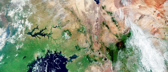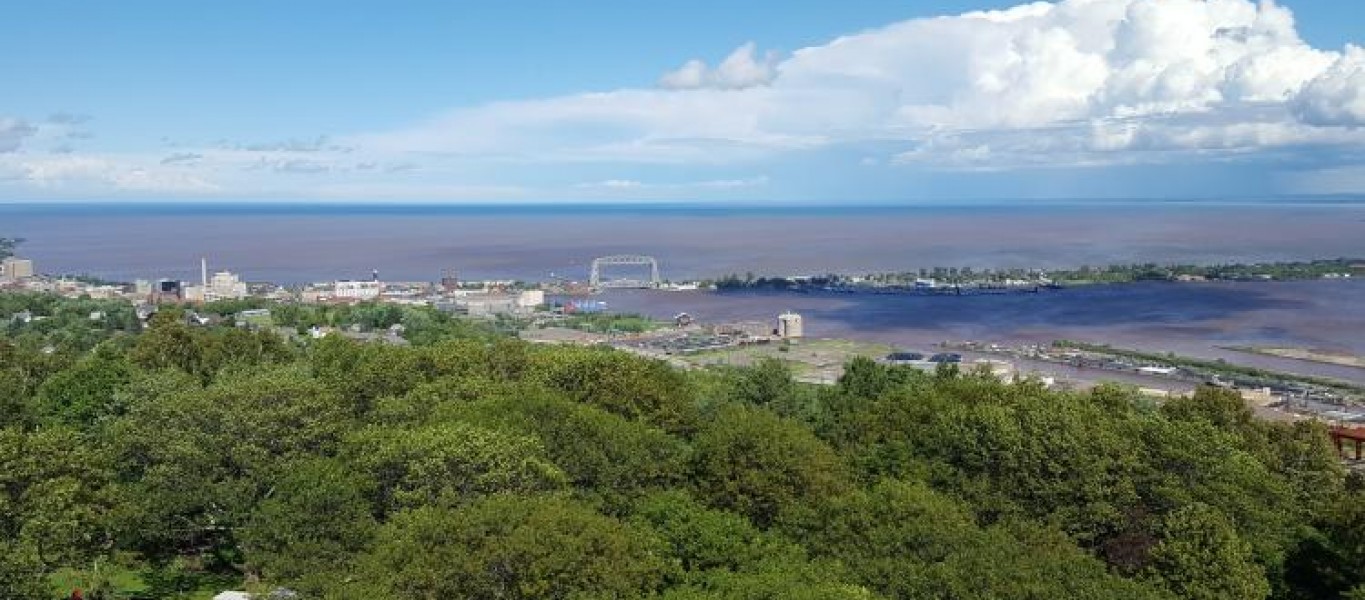
In the St. Louis River Estuary Habitat Focus Area, NOAA and our partners are cleaning up contaminated sediments and restoring habitat from historical industrial activities in the area. The team developed NOAA’s Great Lakes Data Integration Visualization Exploration and Reporting (DIVER) application to inform restoration decisions and track the progress of the effort. We’ve added hundreds of existing data sets to it.
The DIVER application presents the most comprehensive collection of standardized contaminant data from the Great Lakes—spanning nearly 40 years of data collection. Partners can now access data from more than 140 studies, including more than 700,000 samples and 80,000 toxicity tests results. This data can inform restoration activities in the lower St. Louis River.