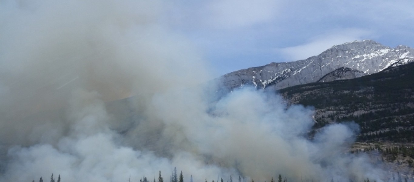
During the smoky summer of 2018, two wildfires in Utah County burned a combined 121,000 acres, sending smoke pouring into the valleys of the Wasatch Front. Atmospheric scientists are always working to better forecast how smoke moves from fires, just as they work to forecast hurricanes and snowstorms.
But the fires in 2018 provided a unique opportunity for scientists. Across the Wasatch Front, both researchers and community members maintain enough air quality sensors to provide a high-resolution picture of how the smoke moved through the valley—perfect for testing and refining smoke forecast models.
“This forecast would be similar to how we would forecast rainy weather or clear conditions,” says Derek Mallia, research assistant professor in the Department of Atmospheric Sciences, “except we can now do it for smoke.”
Mallia and his colleagues, including researchers from the Department of Chemical Engineering and School of Computing, published their results in the Journal of Geophysical Research-Atmospheres.